Situated between Carbonado and Fairfax in Pierce County, is a pleasant hike along the Carbon River leading to the former home of the Melmont coal mine. The town of Melmont was founded in 1900 and produced coal for the Northern Pacific Railroad between 1902 and 1918. The local economy disintegrated around this time when the railroad transitioned to diesel and electric locomotives.
During its existence, the town consisted of a schoolhouse, saloon, hotel, and train depot in addition to the cottages that housed the miners and their families. The miners were self segregating and the rows of houses accommodated different nationalities.
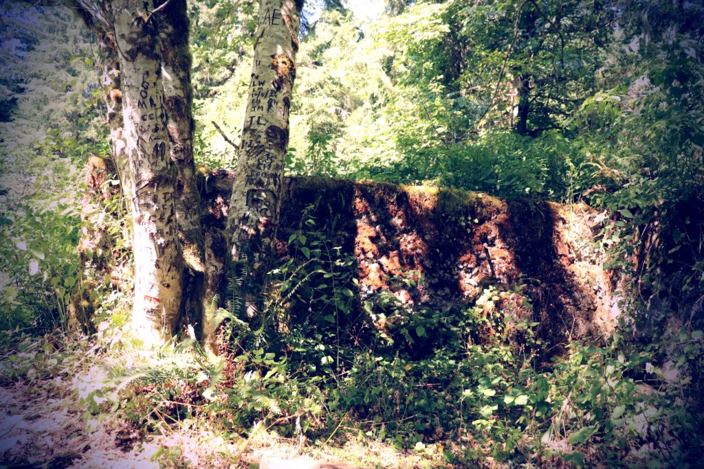
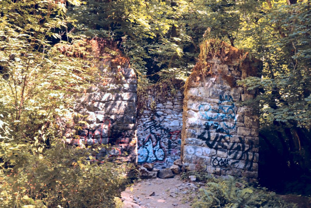
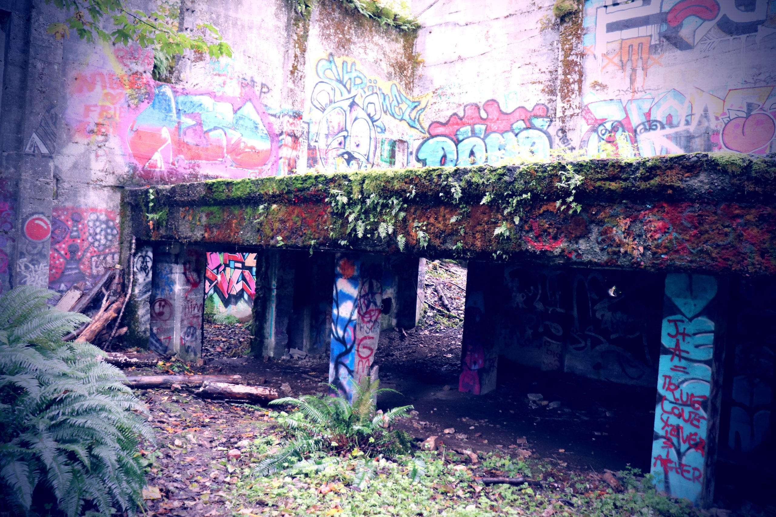
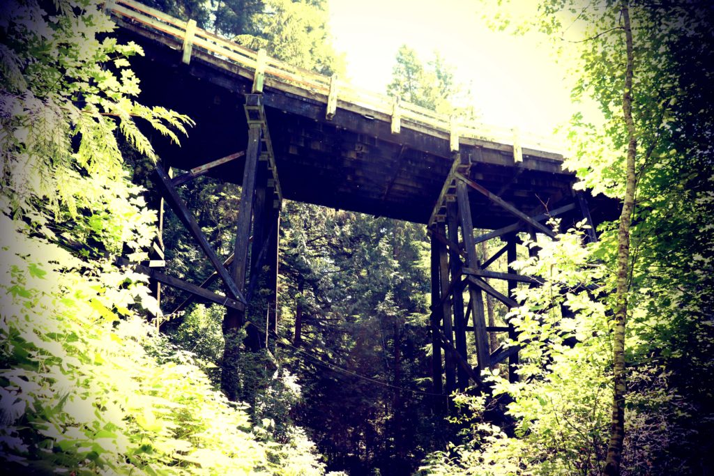
Like many of the “ghost towns” in Washington, the remnants of the town are scarce, as the wooden structures are either deliberately torn down or destroyed by nature. In Melmont, most of the structures were destroyed in the 1920’s by fire. This leaves us with the foundations of the school house, a couple of other structures, and a bridge. We often get lucky and stumble upon the town cemetery at other ghost town sites, but no such luck for us on this adventure.
For more information on the town history, check out the Ghost Towns of Washington page about this historic site.
The Hike
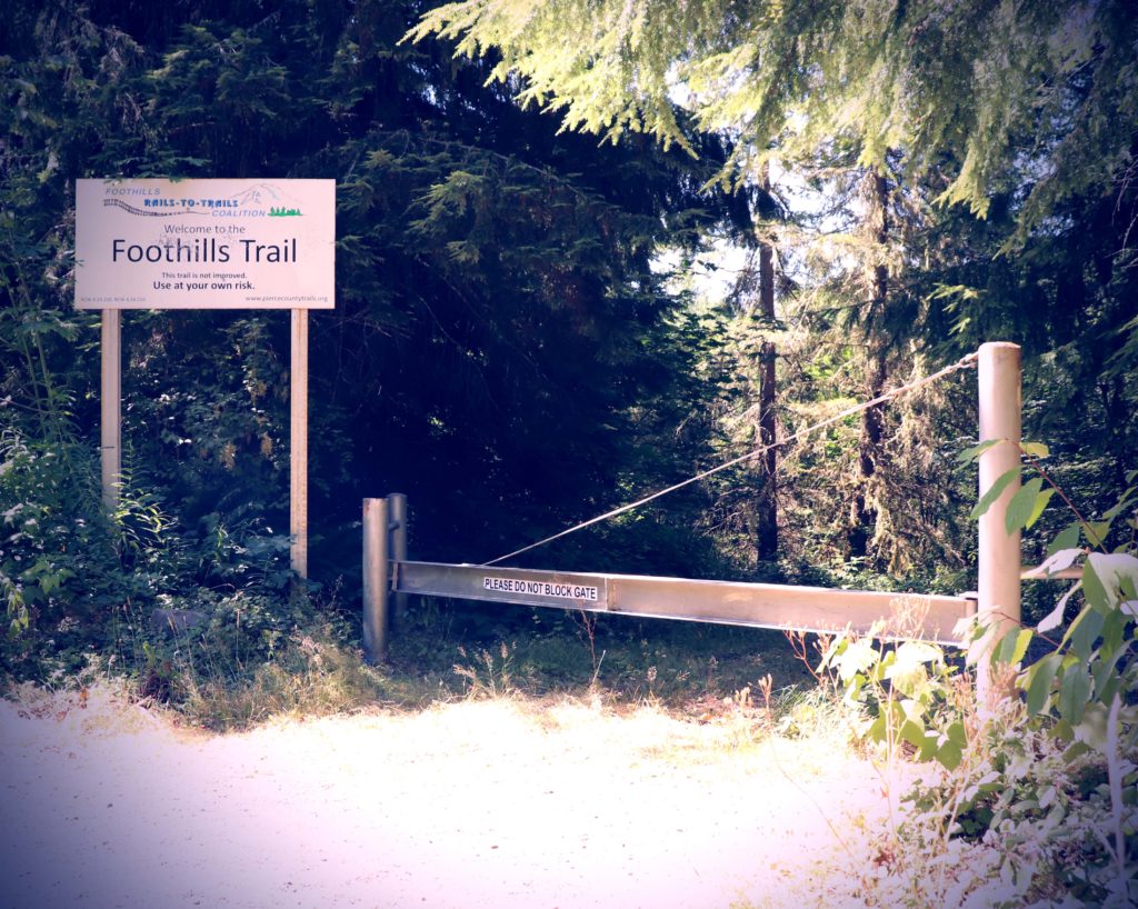
From the starting point posted by the WTA, the hike is about 6 miles round trip, but we found an alternate starting point (with almost better parking) about a mile in, which would shorten the hike to about 4 miles round trip. Be sure to save the coordinates for both waypoints at the end of this article.
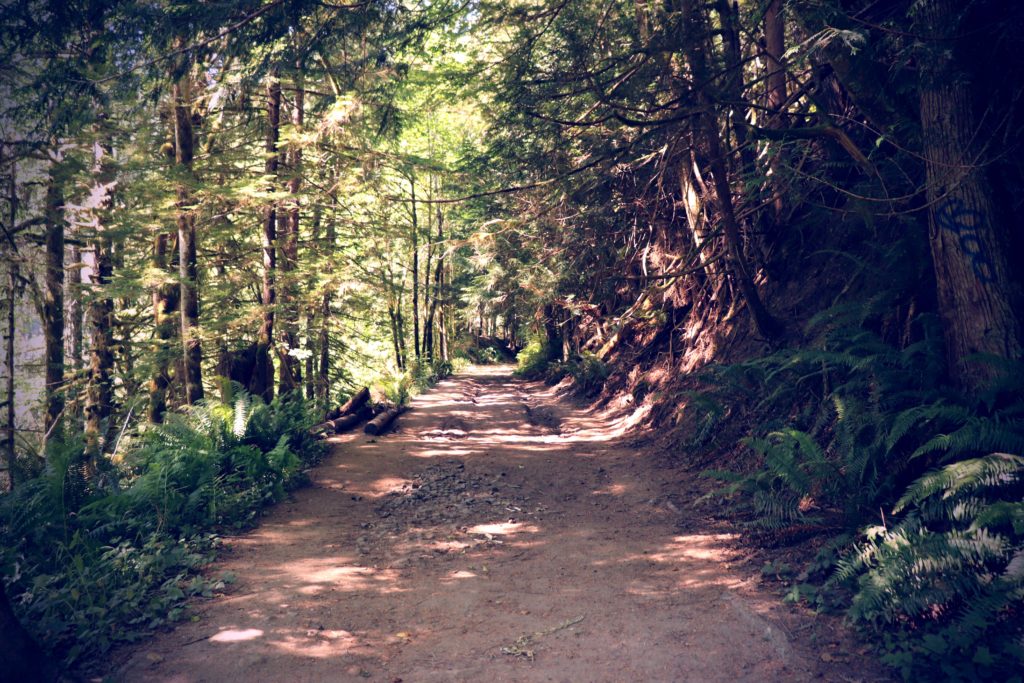
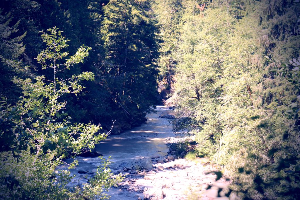
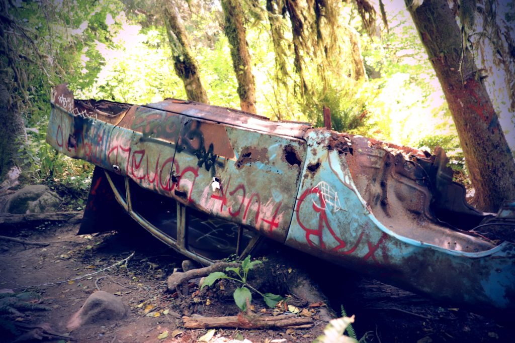
There is very little incline throughout the hike, so it is not too hard on the knees and there is little need for extra equipment for the main trail. The abandoned car in our photos required us to navigate a steep hill and use our hiking poles, but that was the most treacherous part, and it was optional. Totally worth it, as a bit further down from where the car is, we found a nice clearing with an excellent view of the river.
The only other inclines of note were the paths up to the roadway where we parked (either entrance) and the end of the hike where the school house is located, which included another hill. None of these hills required poles, though they were still nice to have after 3 miles of walking.
We were warned about mud, but assumed that was for the rainy season (we hiked in August). There was actually some mud 🙂 Trickling water coming from a source we couldn’t identify made its way over the trail in a few spots as it went towards the river and left us with a few muddy spots to navigate, even during nice summer weather with no recent precipitation.
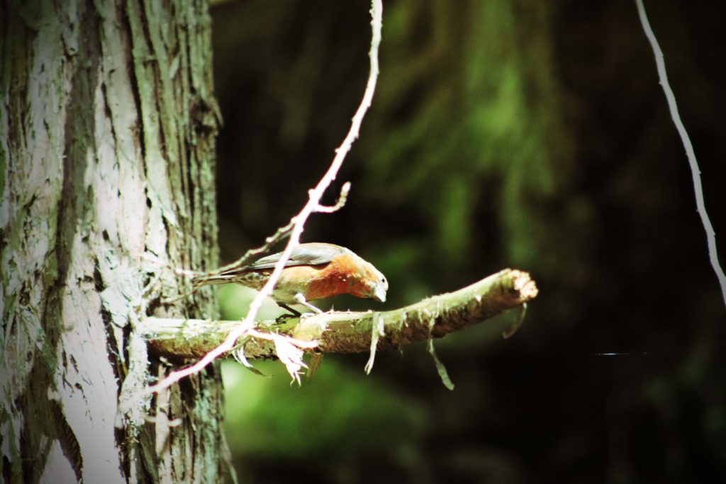
As usual, no shortage of furry or feathered friends eager for a photo shoot 🙂
Garmin MapShare
MapShare Link: https://share.garmin.com/darkstarfoto
- Coordinates for 6 mile waypoint: 47.070961, -122.041047
- Coordinates for 4 mile waypoint: 47.057367 -122.041509
Melmont Gallery

")
")

")
")
")
")
")
")
")
")
")
")
")
")
")
")
")
")
")
")
")
")
")
")
")
")
")
")
")
")
")
")
")
")
")
")
")
")
")
")
")
")
")